
GIS TECH Website

Forest clearance consultancyAccurate mappingExpert support

Forest Clearance, Simplified with GIS

End-to-end survey, mapping, documentation and application support for forest-clearance projects.

  • End-to-End Support
  • GIS Based Analysis
  • Compliant Documentation
  • Experienced Technical Team
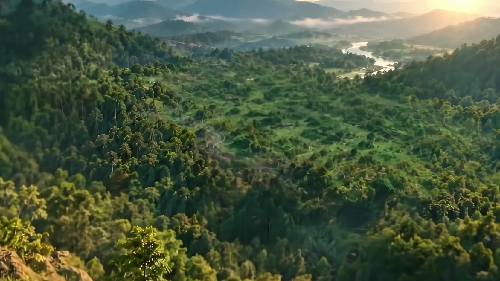
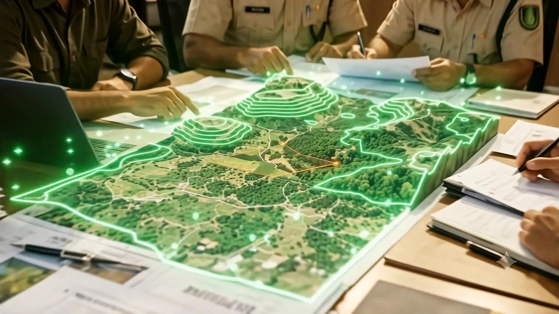
02 of 07 Boundary mapping

Every boundary, drawn from the record.

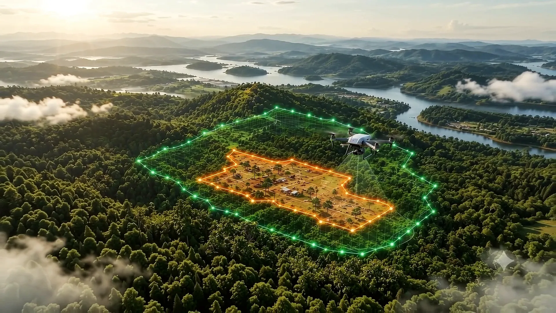
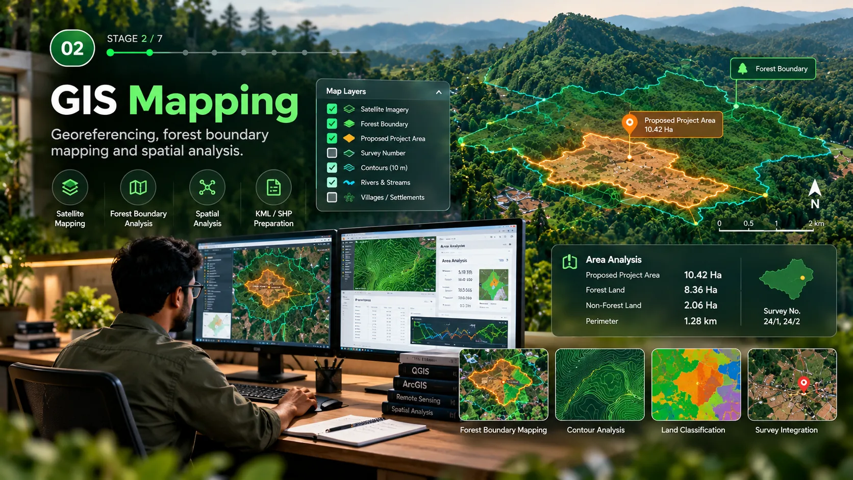
Revenue maps, survey numbers and forest records are brought onto one georeferenced base, so the forest boundary and your project area come from the same source.

  • Georeferencing
  • Forest boundary
  • Survey numbers
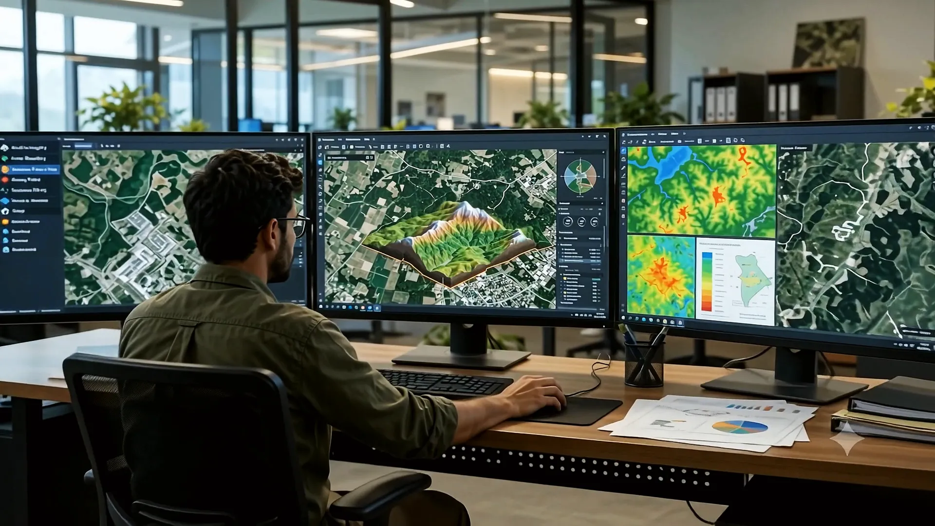
03 of 07 GIS analysis

From field data to a precise map set.

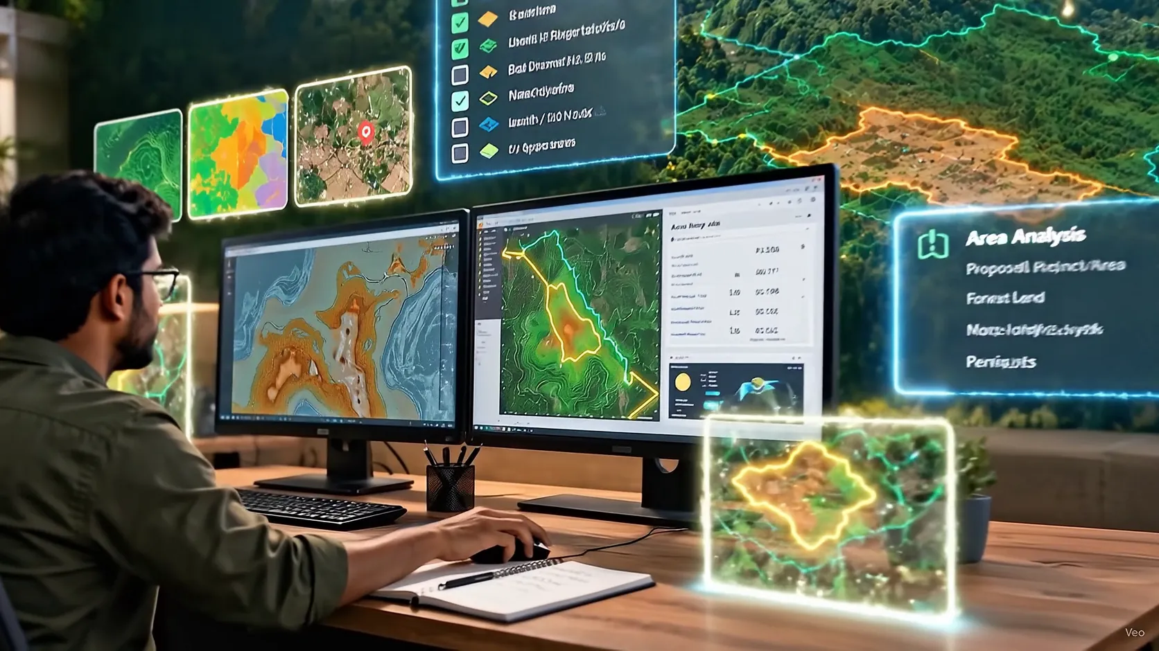
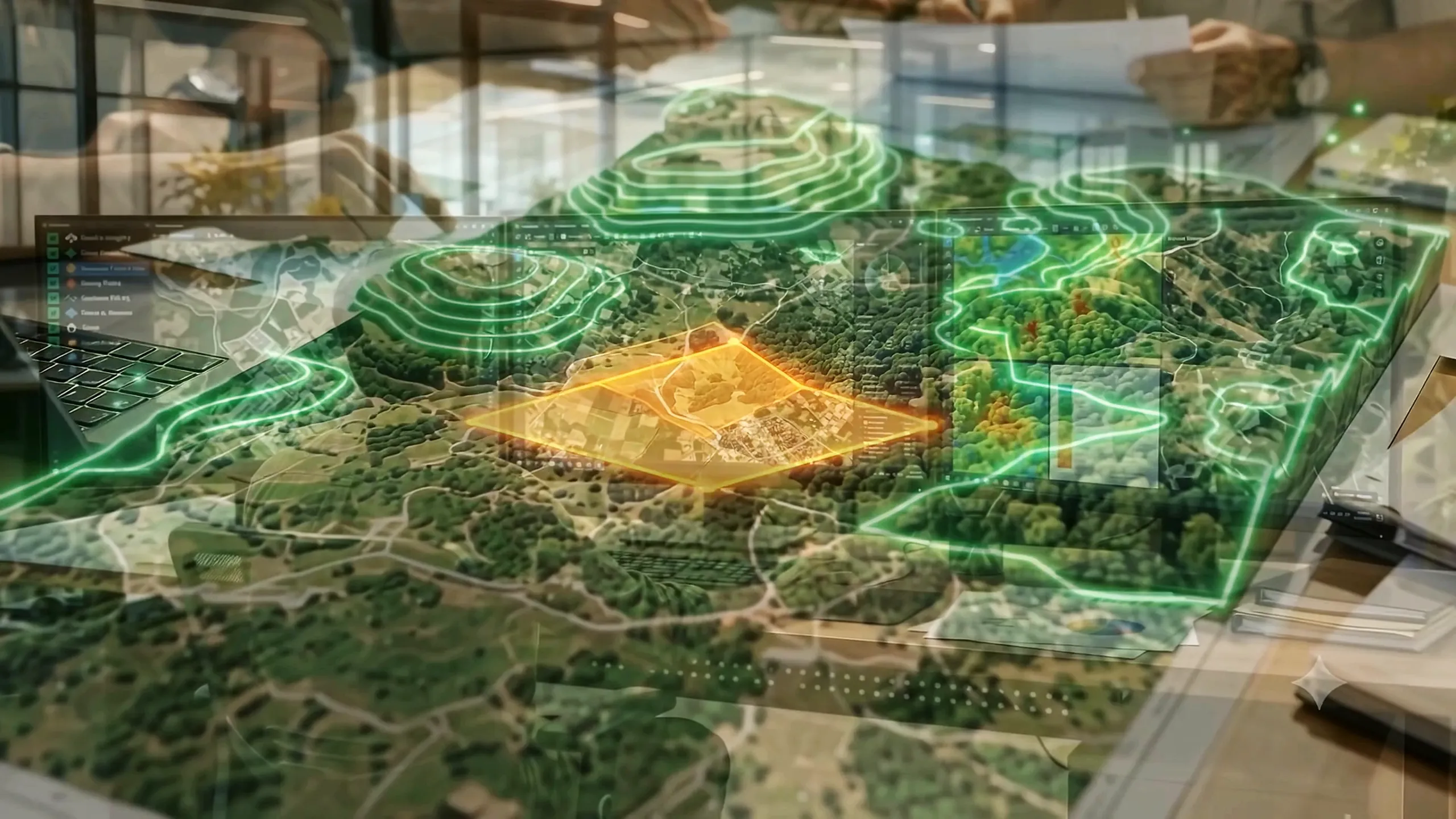
We overlay land use, forest cover and terrain, calculate forest and non-forest areas, and prepare the KML, SHP and GeoJSON files your application needs.

  • Area statements
  • Overlay analysis
  • KML · SHP · GeoJSON
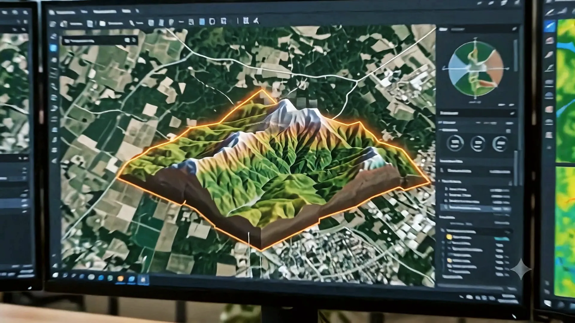
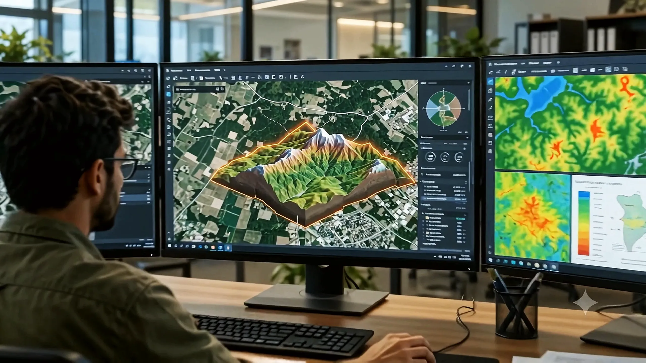
04 of 07 3D terrain model

See the slope before you walk it.

A digital terrain model shows slope, drainage and elevation across the site, so alignments and site plans account for the ground they sit on.

  • Digital terrain model
  • Slope and drainage
  • Elevation profile
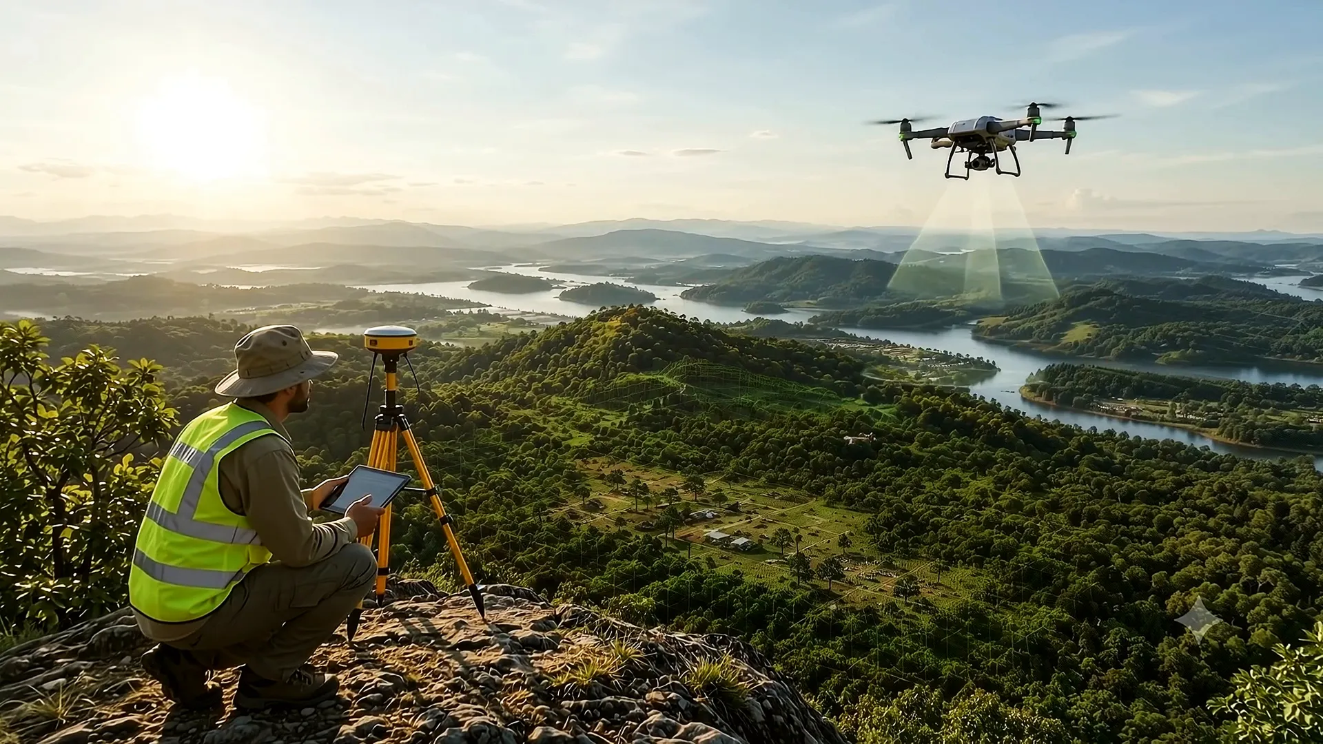
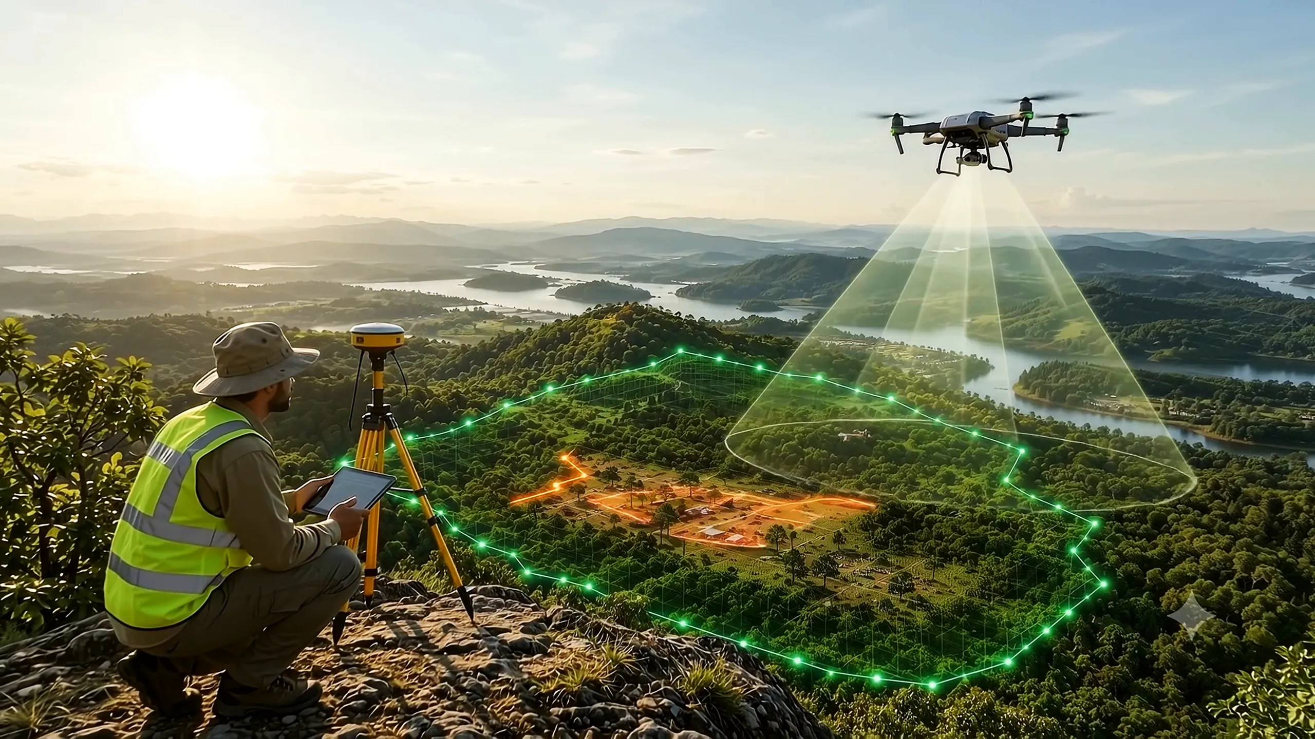
05 of 07 Field survey

Verified on site, not only on screen.

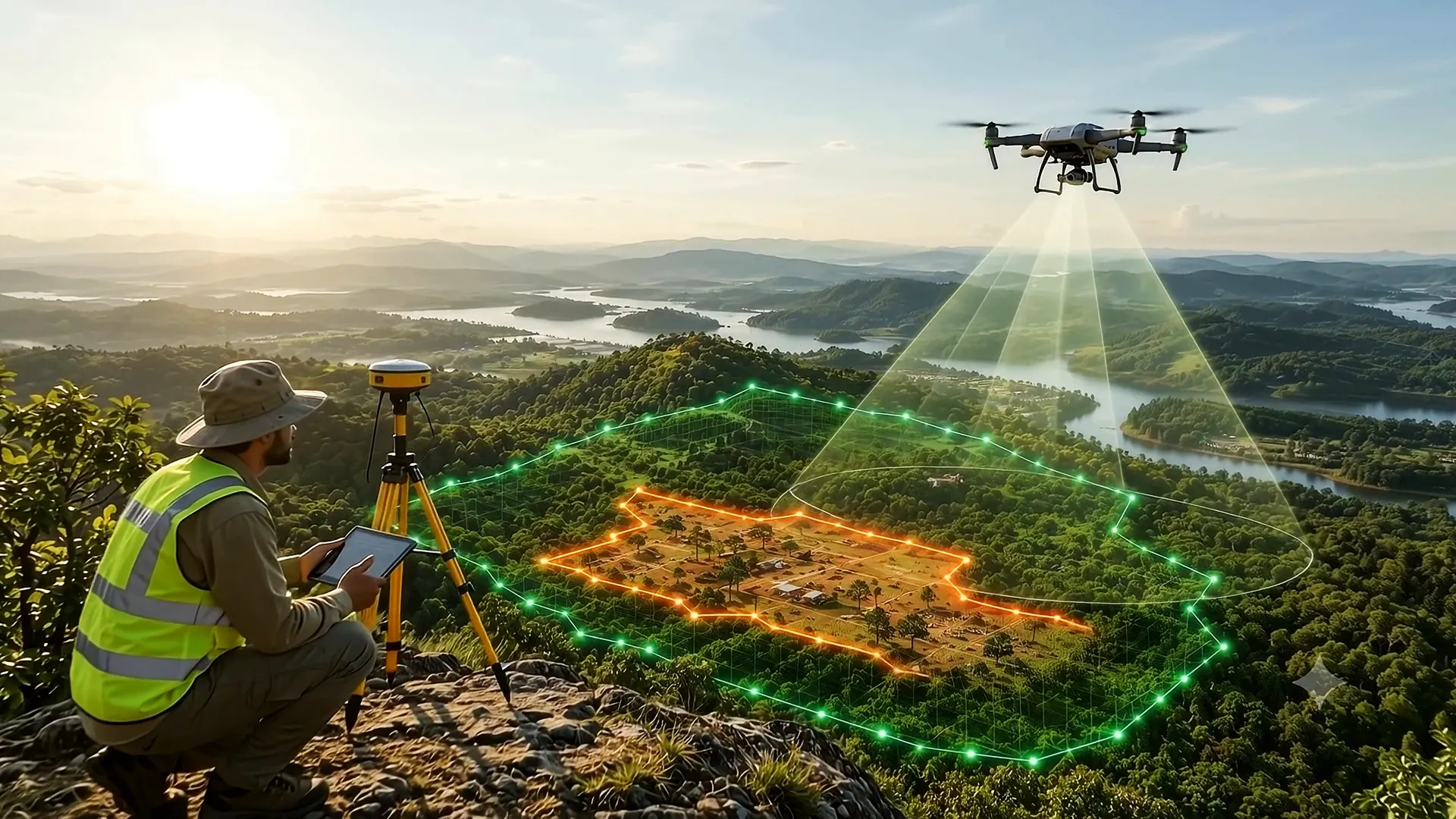
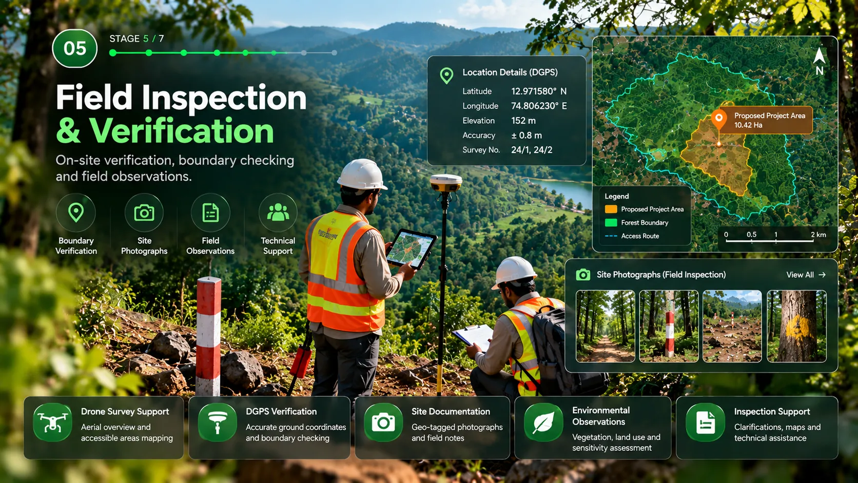
Our surveyors take DGPS readings on the ground while drone imagery captures the boundary from above, so every line on the map is checked in the field.

  • DGPS survey
  • Drone mapping
  • Ground verification
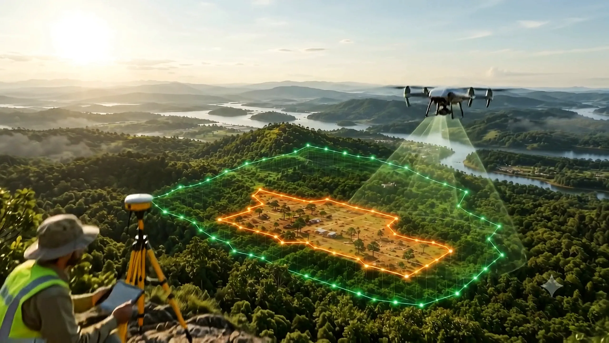
06 of 07 Project area demarcation

Documentation that answers the questions.

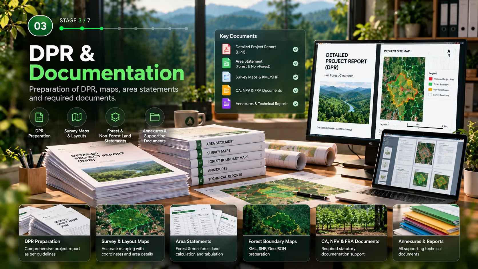
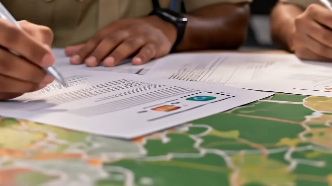
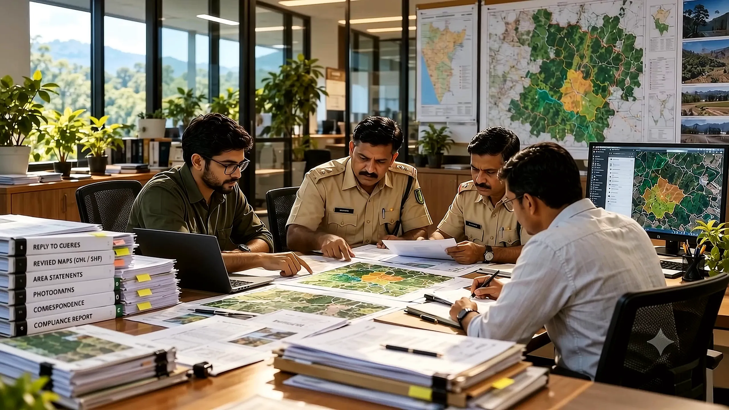
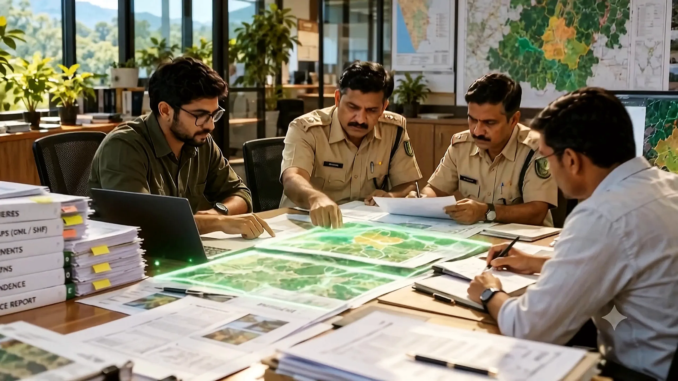
The demarcated project area feeds the Detailed Project Report (DPR), maps and annexures. We support your PARIVESH filing and help you respond to queries during review.

  • DPR and annexures
  • PARIVESH support
  • Query responses
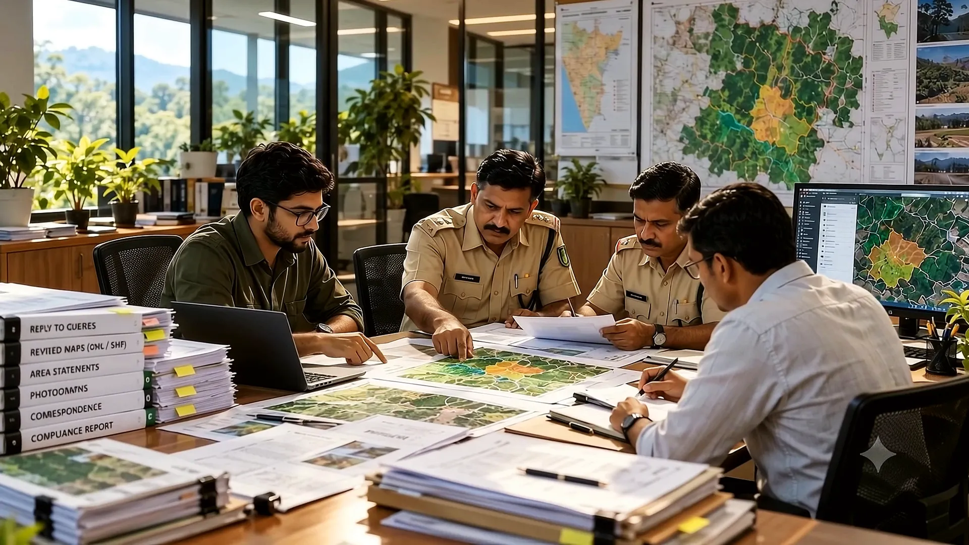
07 of 07 Final approval

Ready for final approval.

Survey, maps and documentation that agree with each other, so your application reaches the final approval stage with a complete, consistent file.

Skip the intro
GIS capabilities

Forest Boundary GIS Tool

Check any site against Karnataka’s forest boundaries: 23,111 forest blocks across every division and range. Attach your project KML to see forest and non-forest land instantly.

Loading forest boundaries…

Find a Forest

Map Layers

Area Analysis Attach KML

Attach a KML or KMZ of your project area, alignment or survey points. We calculate forest and non-forest land and list every forest block affected.

Files are read in your browser and never uploaded.

Multi-Source Data

Satellite, DGPS, revenue and forest layers

Spatial Analysis

Area calculation, overlay and validation

KML Analysis

Forest and non-forest split from your KML

Technical Reports

GIS maps and analysis for documentation

Our process

Seven-Stage Forest Clearance Workflow

A structured and transparent process from survey to project handover.

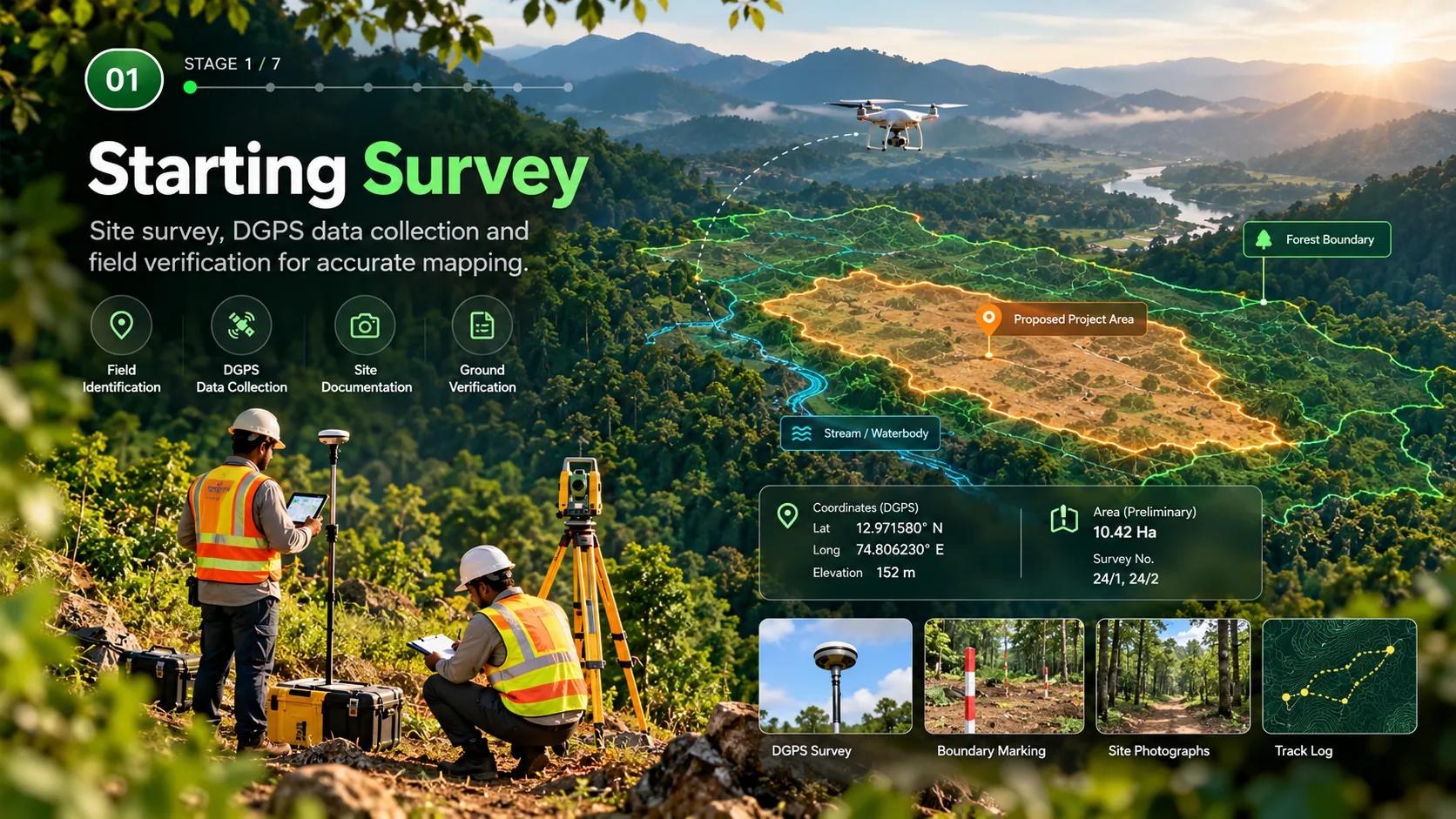
Surveyors setting up DGPS and total-station equipment on a forested ridge

Starting Survey

We visit the site, identify the area on the ground, collect DGPS coordinates and photograph boundary points so every later map starts from verified positions.

  • Field identification
  • DGPS data collection
  • Site documentation
  • Ground verification

Figures shown in stage visuals are illustrative.

Our services

GIS & Forest Clearance Support Services

Land & Forest Mapping

DGPS survey, georeferencing and forest boundary mapping.

DPR & Documentation

Preparation of DPR, forest area statement and maps.

PARIVESH Application

Application support and document management.

GIS & Spatial Analysis

Thematic mapping, spatial analysis and custom GIS layers.

Technical Consultation

Guidance on forest-clearance requirements and compliance.

Project Coordination

Support during inspection, clarifications and follow-up.

Request a Consultation

Share your project details and our team will get in touch with you.

Enter your name.
Enter a valid email address.

Questions

Frequently Asked Questions

The questions user agencies ask us first.

What is forest clearance?

Forest clearance is the prior approval of the Central Government needed before land recorded as forest can be used for a non-forest purpose, under the Van (Sanrakshan Evam Samvardhan) Adhiniyam, 1980 — the renamed Forest (Conservation) Act, 1980. It is granted in two stages: Stage-I in principle with conditions, and Stage-II final approval once those conditions are met.

How do I know whether my project needs forest clearance?

If any part of the project area is recorded as forest in government records, it does. Ownership does not decide it. The quickest way to find out is to overlay your project boundary on the forest boundary — you can do that yourself with the free tool on this page by uploading a KML or KMZ file.

How long does forest clearance take in Karnataka?

It depends on the area, the category of project and how complete the first submission is. Most of the delay comes from queries and from compensatory afforestation land, not from the decision itself. We cannot promise a date; what we can do is make sure the file does not go back and forth.

What is PARIVESH?

PARIVESH is the Ministry of Environment, Forest and Climate Change's single-window portal where forest, environment, wildlife and CRZ proposals are filed, scrutinised and tracked. Every forest clearance proposal goes through it, and anyone can check a proposal's status there using its proposal number.

Do you work across Karnataka?

Yes. Our office is at Balmatta Circle, Mangaluru 575001 and our main branch is on B H Road, Shivamogga 577201, and we work across Karnataka and in neighbouring States where the project warrants it.

Who gives forest clearance?

The Central Government. A State Government cannot permit forest land to be used for a non-forest purpose without it. Who signs depends on the area: up to 5 hectares, the head of the MoEFCC Regional Office; above 5 and up to 40 hectares, the Regional Empowered Committee; above 40 hectares, the Central Government on the advice of the Forest Advisory Committee.

What trees can be cut without permission in Karnataka?

The Karnataka Preservation of Trees Act, 1976 exempts 27 species from needing Tree Officer permission, including coconut, areca nut, mango, cashew, coffee, rubber, eucalyptus, casuarina, silver oak and several acacia and bamboo varieties. Every other species needs prior permission, including on your own land.

What services does GIS TECH provide?

Forest boundary verification, DGPS and drone survey, GIS mapping and KML preparation, tree enumeration, ground demarcation, DPR and documentation, PARIVESH filing and follow-up for the user agency, and support for wildlife, environmental and CRZ clearances where a project needs them.

About GIS TECH

Responsible Projects for a Greener Tomorrow

Combining geospatial technology and environmental insight to support sustainable development.

Chat on WhatsApp